Mountain hike to Skørsnøse
Iconic landmark and viewpoint

Important information
Use the information on this page for hiking tips and to get an impression of the trip. NOT to make safe choices in the mountains. You should use your own expertise and experience for that, or hire a guide. Tyin Aktiv has skilled and locally knowledgeable guides, and can be reached by email booking@tyin.no or by phone 46 665 665.
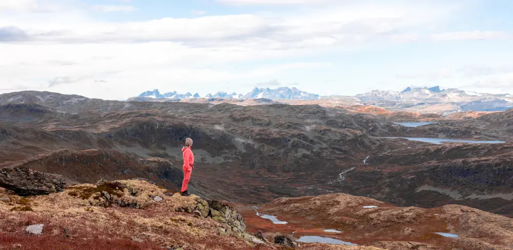
No other mountain peak stands out as much from the Tyinkrysset as the 1453-meter-high Skørsnøse .
Tour description
The peak is one of the most used by locals who go randonné, because it is quick to reach and usually has good snow for the descent. Plus, it is always nice to get to the top and see far in all directions.
Walk a little into Bjørdalen before you set off towards Skørsnøse and goes relatively straight towards the top in avalanche-safe terrain. But be careful, here you are close to avalanche terrain and you must make good route choices to have a safe route up.
There are many different descent options from Skørsnøse The safest route is the one you took up.
Parking: Park near Tyinkrysset, either on road 53 or on road 2515 at Grihamarstølen (approx. 1 km west on road 2515 from Tyinkrysset).
More hiking tips?
Explore more exciting mountain hikes in the area around Tyin Filefjell on our mountain hike pages.

